Abstract
Monitoring water quality along rivers in the Athabasca Oil Sands Region is one of the most costly and essential operations of Alberta Environment and Parks. Monitoring water quality is essential for regulating mine operations and responding to potentially trace metal and other harmful contaminant inputs to aquatic environments downstream of open-pit mining operations. The Athabasca Oils Sands Region open-pit mining region contains four important tributary rivers which converge with the Athabasca River near Fort Mackay, Alberta, Canada. These tributaries are the Mackay, Muskeg, Steep Bank, and Tar Rivers. There are nine water quality and stream gauge monitoring locations along these four tributaries: four upstream and five downstream of open-pit mining activity. We used sondes to measure turbidity and conductivity at a high temporal frequency (15 minutes) along these 9 sites, in addition to twice-weekly water quality measurements between March 2016, and December 2018. Principal Component Analysis (PCA) was used as a first step to assess if sonde data could be used as a proxy for total and dissolved chemical constituent concentrations; PCA was also used to determine what water quality constituents covaried (behaved in like-fashion temporally). Discriminate analysis was used to analyze differences between sites, and stream order, and to assess whether any sites were of higher monitoring priority. Differences between tributaries were stronger than differences between paired upstream-downstream sites, suggesting that surficial geology influences water chemistry more strongly than open-pit mining. Due to this, we provide a set of regression models between turbidity or conductivity and water chemistry variables on a tributary by tributary basis. We found that turbidity showed moderate potential for modeling sediment-bound water quality parameters (e.g., Pb, V, Cu) at Mackay, Steep Bank, and Tar Rivers, and conductivity showed strong-to-moderate potential for modeling dissolved water quality variables of interest (e.g., Ca, U) at all four tributaries. Although water quality parameters were routinely elevated downstream of open-pit mining relative to upstream sites, the differences were small. However, Canadian water quality guidelines were exceeded in 3% of sampling events. Mackay River proved to be the highest priority site, with consistently higher priority contaminant (e.g., Pb, Cr, As, Cu, V) concentrations.
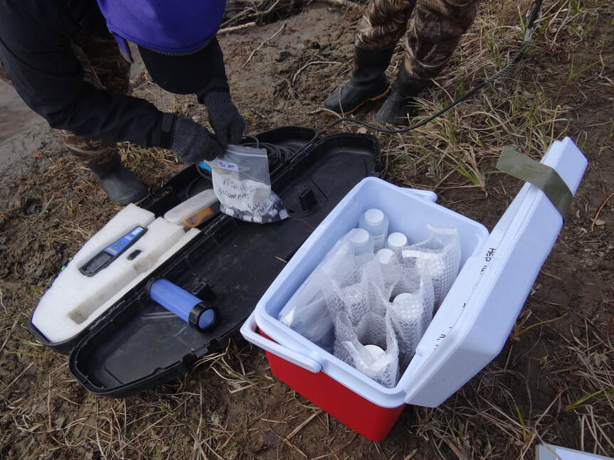
Figure 1. Photo of water chemistry sample bottles and a sonde at the Muskeg River, Alberta.
AboutThis website has been created for the purpose of RENR 690, a multivariate statistics course at the University of Alberta, and the analyses have been performed on test-data for learning purposes only.
If you have any questions or comments, please reach out! Kasia Staniszewska, April 2021 |
|
Disclaimer: all data and writing within this webpage are for statistics-training purposes only, and were performed on test data.
